Continuing on our Colorado journey, we headed along the Million Dollar Highway, a scenic 70-mile drive through Colorado’s rugged San Juan Mountains. The highway connects Durango to Silverton and on to Ouray. It is known for its spectacular views, but it is also a treacherous route — tight switchbacks, stomach-turning vertical drop-offs, mountain passes rising to more than 11,000 feet with similar descents — with potential for sudden rockslides and elk leaping across the road. It lacks guard rails most of the way. I wouldn’t want to drive a fuel tank along this route, that’s for sure. But I can understand why gas costs increase as you travel north. It’s an absolutely breath-taking route, but cautious driving is required. And don’t do what I saw one old pick-up driver doing at an overlook — he was drinking beer.
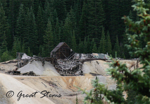
The drive takes you along the historic route that once connected mining towns of old. Around Silverton and along Red Mountain Pass, one can see the remains of mines, old buildings, railroad tracks, and more.
The Red Mountains are suitably named.
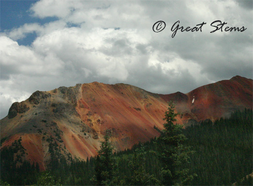
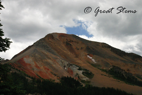
And on distant mountains, a bit of snow remains in the high altitude.
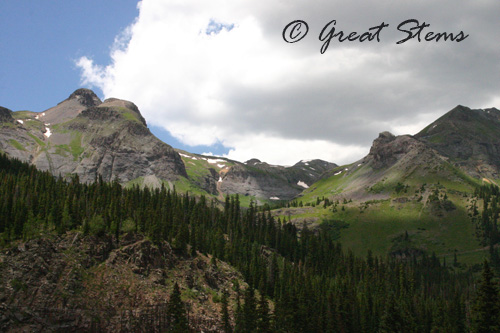
There is a ghost town of sorts in the Red Mountain area, with an informative overlook to tell the tale.
We passed through some incredible mountain passageways, glimpsing waterfalls and river scenes along the way. The town of Ouray seems to be a fun place to visit — it was quite crowded — but we opted to continue on.
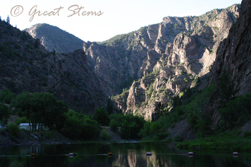
At Montrose, we headed east to the Black Canyon of the Gunnison. Wow. With narrow canyons and sheer walls dropping a huge distance to the river below, the views are dramatic and a little unsettling. We’d never seen any place like it. If you are in Colorado, it is so worth the drive. Pictures cannot do it justice. I know — I checked out all the postcards and books on the Black Canyon and not a one could capture the wonder and startling depth of the place. You must visit it.
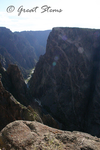
It might not look like it in these pictures, but it’s a realllllly long way down to the river. We were standing 2,000 feet up.
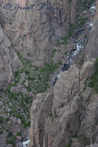
The descent to the river below is quite steep — 16% — with extremely narrow turns.
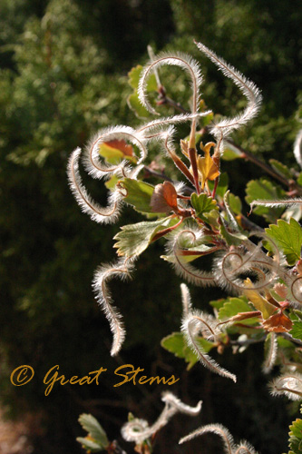
 And along the rim, one walks along shrubs and shrubs of Mountain-Mahogany (Cercocarpus montanus), with all its feathery plumes. I call this photo “The Running Man” — though really, it looks like two people.
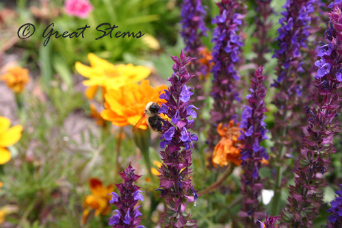
We headed past Blue Mesa Lake to Lake City. The small town’s most famous tale is that of Alferd (Alfred) Packer, the man accused of cannibalizing his companions during a long harsh winter in the 1800s. We enjoyed a walk through the small historic town — and ice cream floats from the town’s famous soda shop. The bees buzzed happily from flower to flower along the sidewalks.
 From Lake City we headed south along 149 to Slumgullion Pass. The route takes you on a 9% grade to the peak with some very tight turns. Pretty, but scary. The last time I was on this pass, it was raining. That’s scarier.
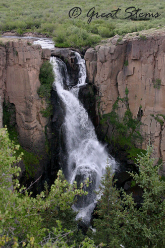
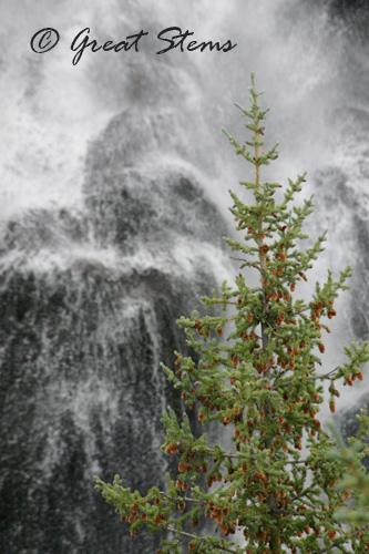
We camped this time at Bristol Head, a small campground just down a dirt road from Clear Creek Falls. The falls are some of the most photographed falls in Colorado — and rock climbers enjoy the challenge of the short cliff faces.
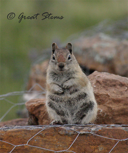
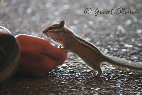
The area is popular for flyfishing, and the old mining town of Creede is nearby and a nice place to visit. My sons like to visit the mining museum — not to see anything related to mining, mind you. It is one of the few places you can buy food to feed the chipmunks and ground squirrels.
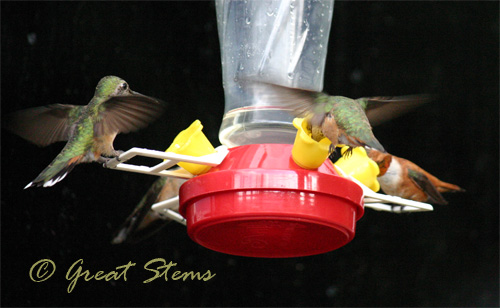
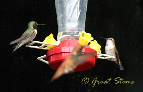
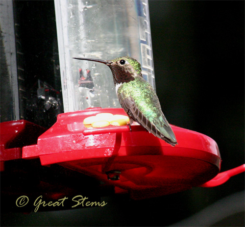
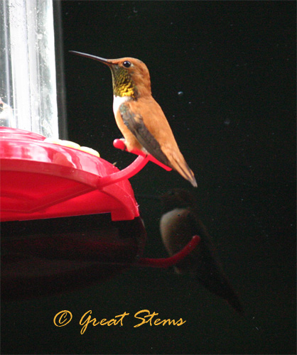
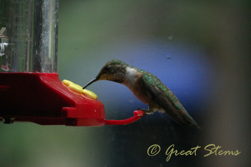
The hummingbirds are quite numerous at Bristol Head. My parents put out feeders on their camper, and I enjoyed the birds’ antics for hours and hours. Sometimes, particularly at dusk, more than a dozen hummers would fight for the feeders at one time.
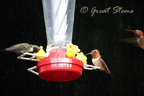
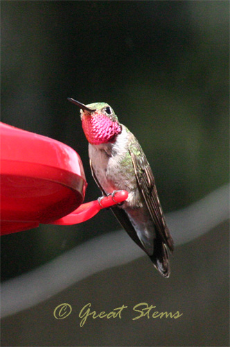
For those of us in Texas and farther east, this cutie bears a resemblance to our Ruby-Throated hummer, but it is actually a Broad-Tailed Hummingbird, lacking the black band along the top of the ruby color.
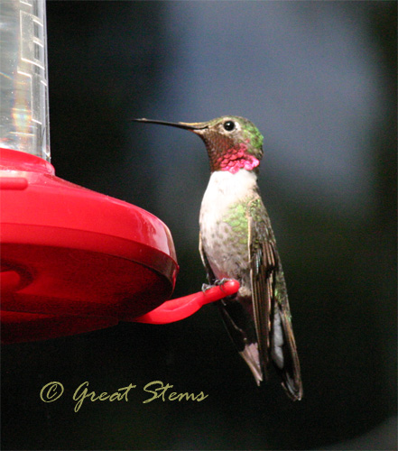
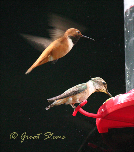
Many of the hummingbirds squabbled with one another, not content taking turns… pretty much ever.
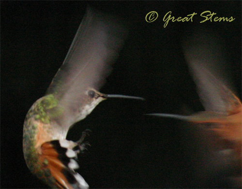
The Rufous Hummingbirds were quite brassy, both in appearance and personality.
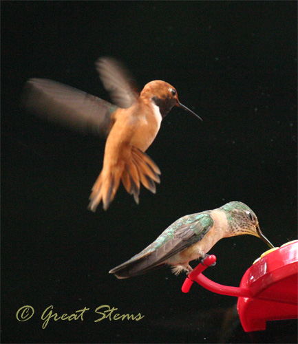
They weren’t shy about poking other birds in the head to get them to move.
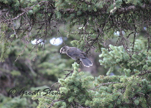
I’m not sure what kind of bird this is. This year I bought a book on Colorado wildflowers — next time I really need to get one on Colorado birds (and another on butterflies). EDIT: Thanks, Mary, for letting me know that this bird is probably a Camp Robber. It’s also known as a Gray Jay, and Colorado is on the southern end of its range).
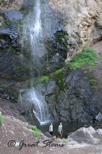
After a couple of nights, we took down the tent again and packed the car. We said goodbye to my folks and then headed south past Creede and along Wolf Creek Pass. We made a short stop at Treasure Falls, taking a quick hike to a lovely view.
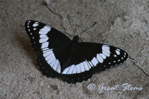
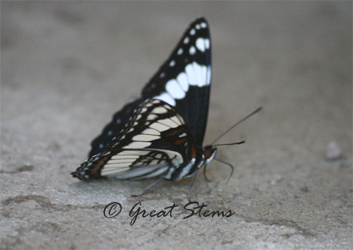
There we also saw a very lovely black and white butterfly, a Weidemeyer’s Admiral. It was doing the puddling thing outside the men’s restroom. Gross (and kind of an embarrassing spot to take a picture). But a pretty butterfly.
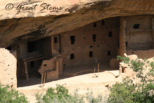
From the falls, we drove the short distance to Durango and then to Mesa Verde, where the Anasazi built their amazing cliff dwellings many hundreds of years ago. Below is Spruce Tree House.
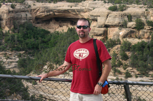
The boys and I had visited Mesa Verde a couple of years ago. This year we added to our visit a drive along the rim, and we saw views of even more cliff dwellings. You can see Cliff Palace, the largest site, in the background below.
“Square Tower House”
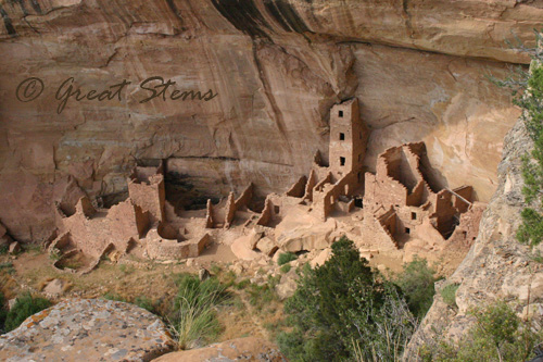
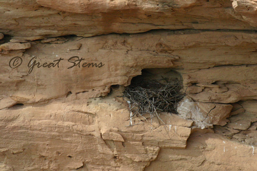
An eagle nest above Square Tower House — a perfect spot for it, I’d say.
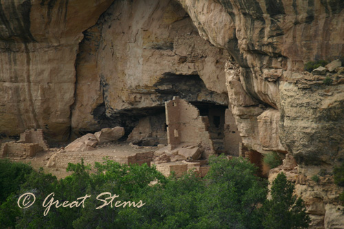
“Oak Tree House”
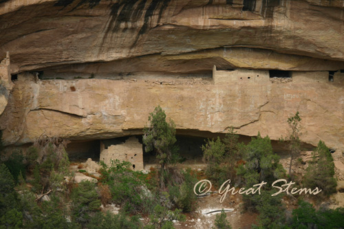
“Sunset House”
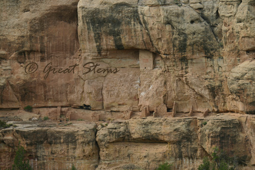
“Mummy House”
Mesa Verde is just 5-6 hours from Grand Canyon. That’s practically nothing in Texas time — so we left the cliff dwellings and headed farther west into Arizona. Part III of our trip next!
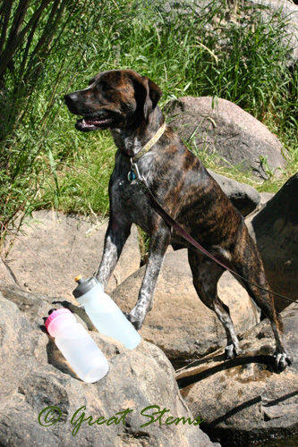


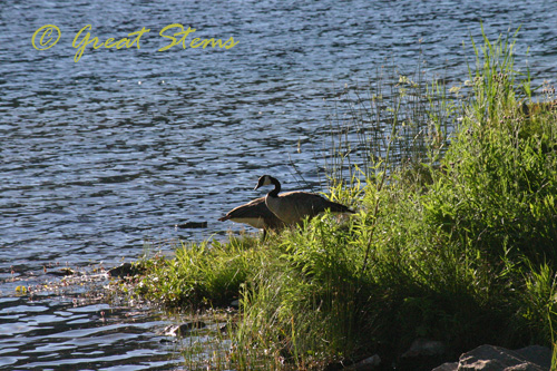
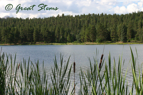 I enjoyed taking a few pictures, but I never managed to capture a picture of the raptors swooping down to catch fish in the water. They did so at dusk, not being considerate enough to fly when I returned in better light. Considering the fishing skill involved, I wondered whether they were osprey, but it’s possible they were eagles. We also spotted a beaver swimming lazily in the water…at…dusk…too. My youngest caught his first fish completely in the dark with me already heading back up to the car. What is up with that?!! Well, at least the setting entertained me in the light.
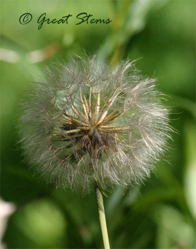
 Colorado has the biggest dandelion-like seedheads I’ve ever seen. Inches across, they are. (EDIT: Mary tells me this plant is Salsify, of the genus Tragopogon. Once again I’ve photographed a picture of a non-native plant. But those seedheads get to be 4-inches across! It’s in the same family as dandelions, but a completely different genus. So distant cousins from across the world…)
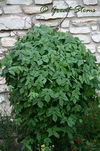
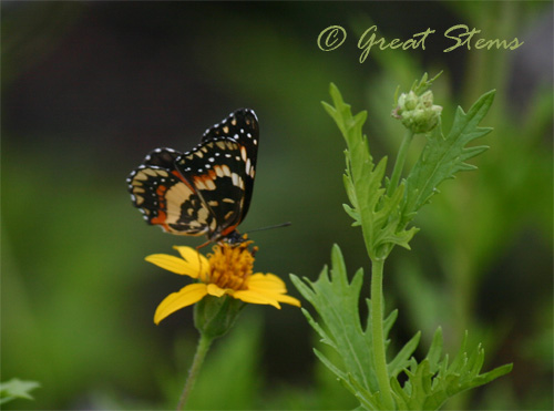
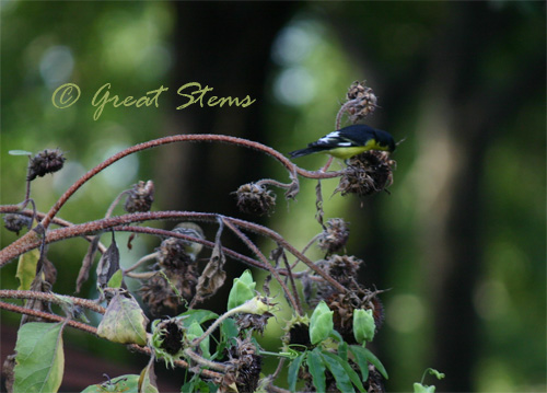
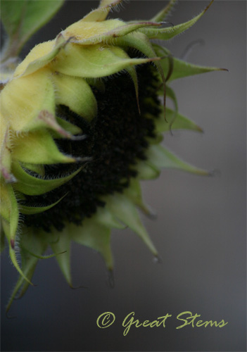
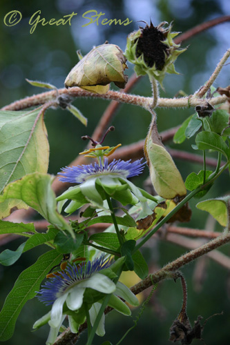
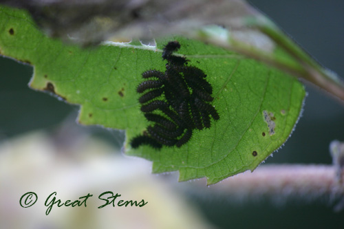
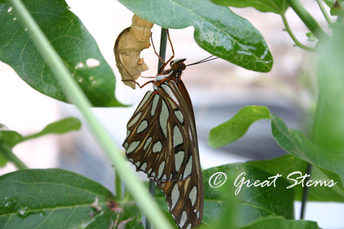
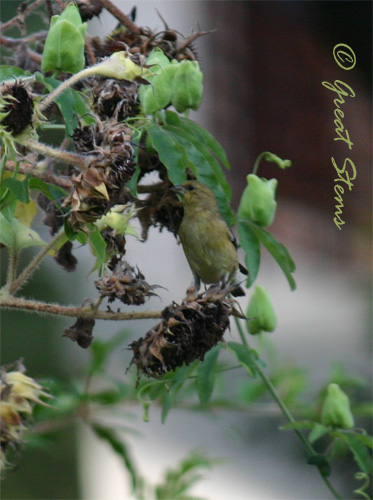 The spent plants have another use now, too. The passionflower vine has reached out to the tall stems to gain further support for its beautiful blooms and thus additional dining areas for future Fritillary caterpillars.
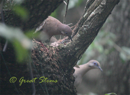
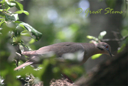
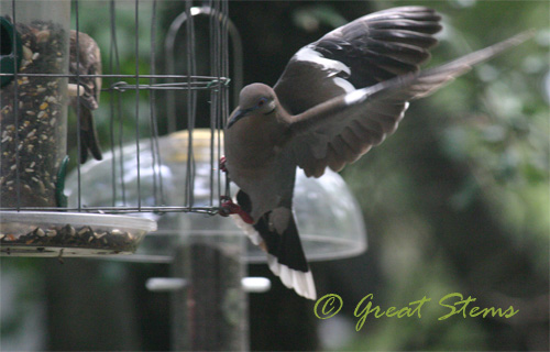
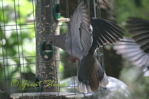
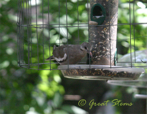
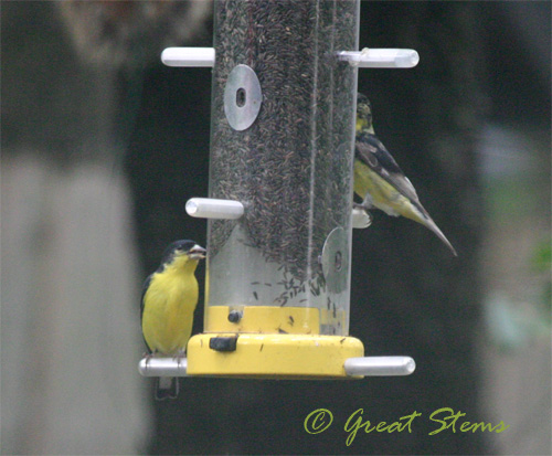
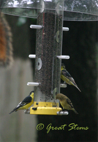
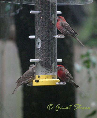
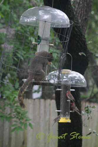
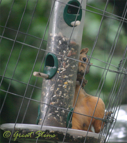
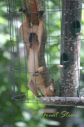
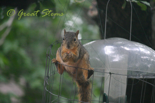
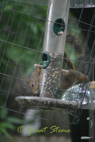
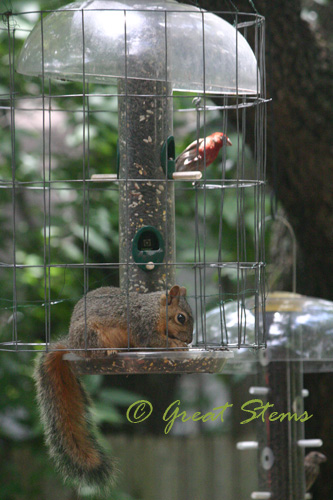
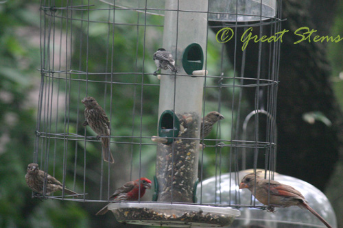
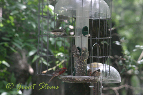
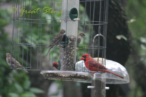
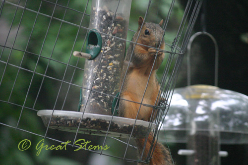 Sometimes birds will share the space with the squirrel… usually on the opposite side of the feeder. The squirrel never seems to care.

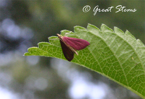
 This next photo makes it look much darker than it really is — the moth is actually a very dainty pink. And dainty in size, too!