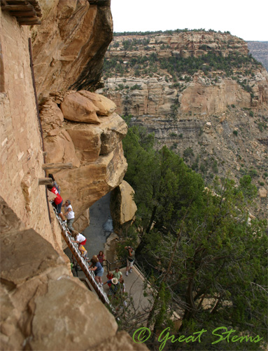
For the final leg of our westward journey, we left behind Colorado and ventured to Arizona. Our goal was the Grand Canyon, something brand new for everyone in our family. From what we read, being committed to getting up early (very, very early) for sunrise and staying late for sunset is perhaps the best way to see the canyon. So that’s what we did. And we took a nap in between. Bonus is that this way we avoided both heat and crowds, so win-win.
There’s something very powerful about having never seen the Grand Canyon before and watching the sun come up to shine upon and give shape to the red cliffs and valleys and exposing the great depths below, like turning the lights on a stage.
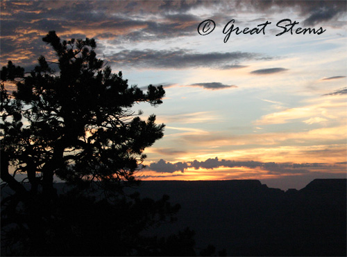
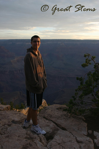 It touches the soul of the visitor, and the visitor in turn feels in touch with the soul of the canyon and connected to the souls of all those who have been there in the thousands of years of human existence.
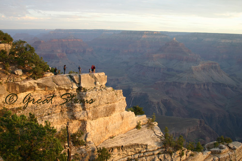 I understand the desire of those who ventured to outcroppings to watch the sunrise without fence or rail, to feel on top of the world and take in the full expanse of the canyon. (On the other hand, these people are perhaps a little crazy, too — that’s a long drop to the bottom.)
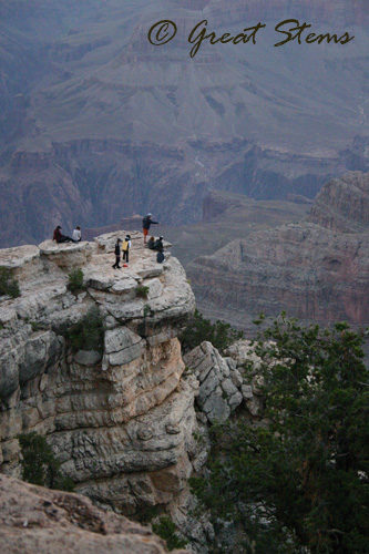
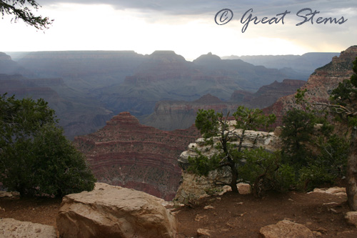
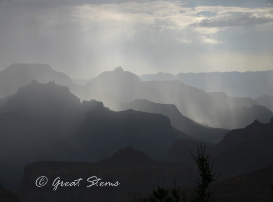
We walked along the rim for awhile, but the morning rains nudged us to move back toward the main visitor area lest the gentle rains turn to thunder and lightning. But the effects of the rain on the canyon were breathtaking. Totally worth letting the camera get a little wet.
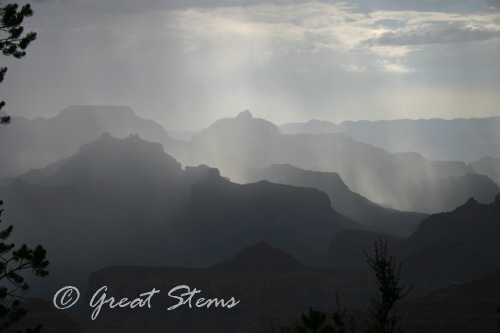
We followed the eastern drive for awhile before returning to our hotel for a nap. After a late lunch, however, we headed right back to the canyon for a longer hike along the South Rim.
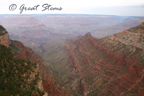
The colors of the canyon were overall muted, even when it wasn’t raining or misty. Despite the canyon’s clean air, particles from air pollution caused by local car and factory emissions and that of smog drifting east from Los Angeles and southern California create an unfortunate haze over the canyon. I imagine it gets particularly bad when wildfires are out of control in California.
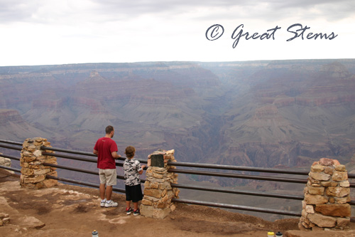
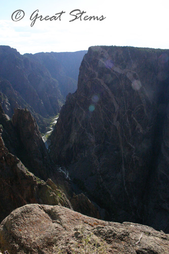
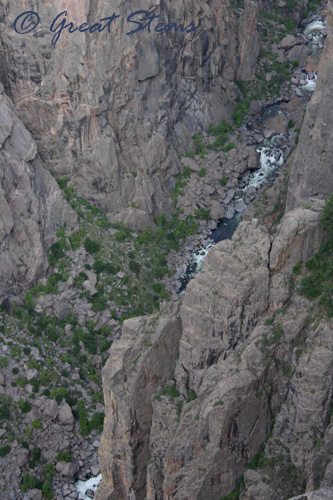
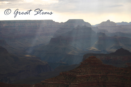 Even with the muted colors, the Grand Canyon is without a doubt one of the most spectacular places I’ve ever seen, and it has earned its spot as one of the Seven Natural Wonders of the World. My tendency to feel wobbly near cliff edges was not really an issue this visit — somehow the great expanse and soft colors made me feel like I was walking along a beautifully painted backdrop rather than a canyon 1-mile deep. In contrast, I was exceptionally wobbly at Black Canyon of the Gunnison, where views of narrow canyons, sheer walls, and vast depth really affect one’s stability– overlooking the edge is much more startling.
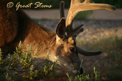
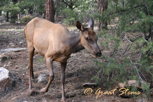
 Wildlife abounds at the canyon — coyotes, deer, rock squirrels, birds, and more. We saw a condor drifting lazily in the air between two edges, but as soon as I got my zoom lens on the camera, it ventured too far away for a picture. The mule deer and elk seem comfortable around humans — probably not a good thing for either party.
 The ravens are huge and very, very black. They are considered some of the most intelligent birds, and you can tell that in the way they look at you and ponder how best to deal with you and/or your food. It amazes me that these heavy birds can even fly, and it amuses me further to see them hover against a breeze mere feet from the human watching them.
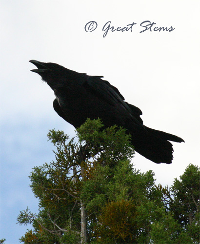
You can also see why they are so often portrayed in literature and movies as something dark, sinister, evil. They are eaters of carrion, too — among other things.
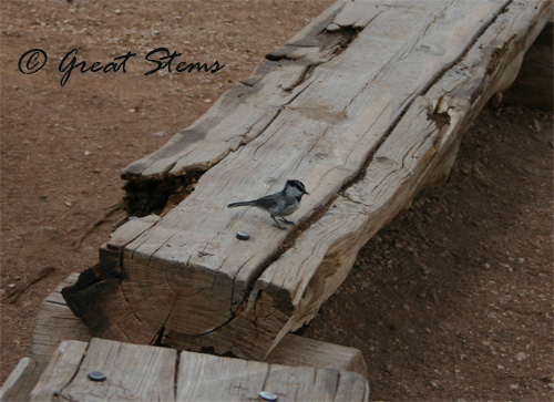
The mountain chickadees are just as feisty as their more urban counterparts — they even look the more rugged part.
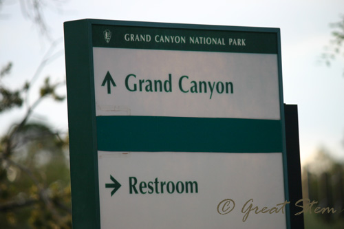
My husband, by the way, was quite amused by this sign.
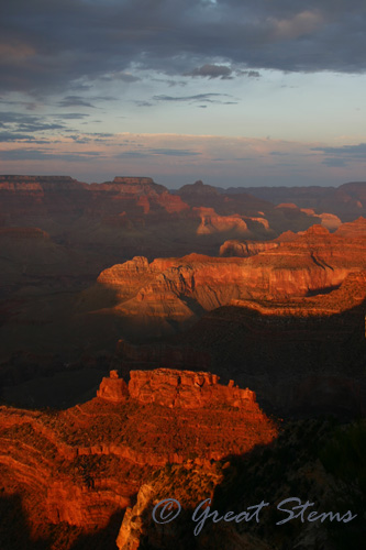
 If I were to really suggest a time to visit the Grand Canyon, I’d have to say that you should stay for sunset. The red colors of the canyon are enhanced by those of the disappearing sun on the horizon, and you can see the canyon like no other time of day allows. We walked the elevated distance out to Hopi Point, and we oohed and aahed with the crowd. It was worth it.
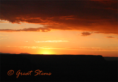 Oh, and bats took care of any bugs flying around us on the long walk back (there are buses available, but we had our dog with us). I can’t say I’ve ever had that many bats so close to my mass of hair before, but they took care not to get caught in it. I’m glad the coyotes we saw in the dark didn’t attack our dog, either. The bats didn’t faze us, but we certainly picked up the pace when we saw the coyotes, since they actually were a potential danger.
The next morning we packed up and officially headed east — time to head toward home, Texas. We stopped at the Petrified Forest National Park, the upper portion of which is part of the multicolored badlands known as the Painted Desert. I wasn’t sure how I’d feel about visiting — the pictures I’d seen online looked like a vast, gray empty dead zone. But the truth is, I loved it. I’d never seen anything like it.
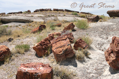
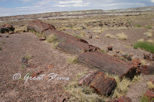
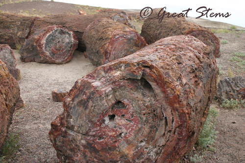
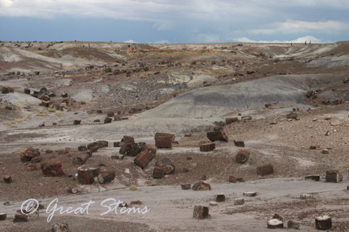 Does it seem odd to find this beautiful? These rocks represent the petrified remains of a forest from 225 million years ago, in the Late Triassic period — a time when giant crocodile-like phytosaurs ruled the land. Just imagine the difference; imagine the world long, long ago. Wow.
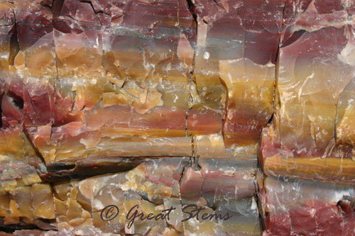
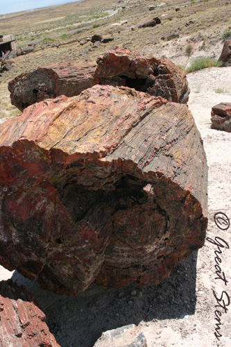 The silica-filled petrified logs are like rock rainbows, colored by iron and manganese.
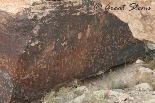
 The national park is rich in human history, as well. We saw hundreds of petroglyphs in close proximity, as well as evidence of ancient pueblo villages and homes. Visiting the national park was a step back in time, and I felt the spirits of the ancient peoples around me as they hunted, fought, raised families, and wrote their stories on the rocks around.
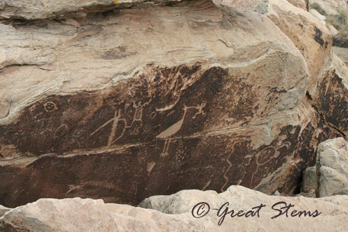 I’m certain that at particular times of the day or in different seasons, the spectacular beauty of the Painted Desert really shines through, but even on the overcast rainy day we had, the uniqueness of the geology around us was apparent.
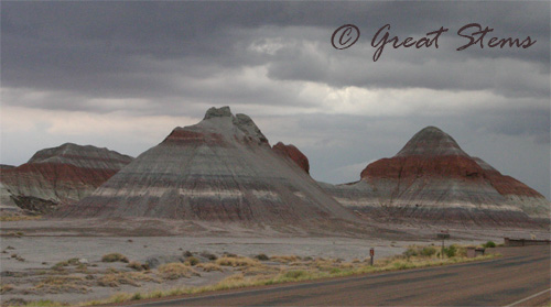 The banded hills and badlands are known as Chinle Formations, formed by the processes of massive erosion and deposits in harsh seasons. The effect is powerful, and the colorful scene that arises is suitably named the Painted Desert.
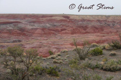
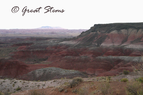
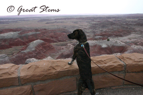 The rain fell as we were leaving. We were amused at how much of our time in the desert had rain either falling on us or falling near us in the distance. But no complaints from us — since we’d expected crazy hot temperatures in the 3-digit numbers, we happily enjoyed temperatures in the 80s instead.
We had a pleasant dinner with friends in Albuquerque then continued on our journey the next morning, admiring the rugged New Mexico shrubland as we headed southeast to Carlsbad. There we visited the giant and very impressive caverns. This is yet another place where you need to see it to believe it — photographs can’t capture its magnificence and magnitude, especially because lighting is such an issue for the average photographer.
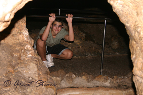
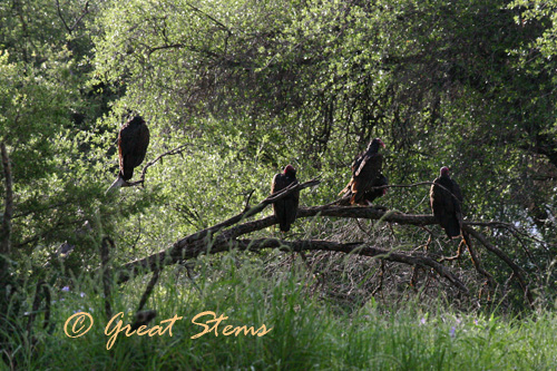
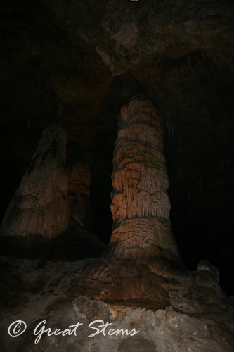 The final part of journey brought us to Davis Mountains State Park in southwest Texas, not too far away from Big Bend. Ahhh, home in Texas at last. The Texas shrublands made me smile, and they were especially green due to all the recent rains. We took a short hike to observe the wildlife and surroundings, and we made a quick trip over to the famous McDonald Observatory before beginning the last long stretch home to Austin.
Nothing like multiple carcass-hungry vultures to welcome you back to Texas.
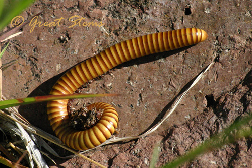
 And a giant Texas- sized millipede…
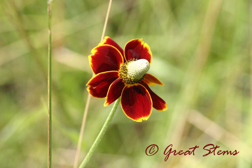
 It made me happy to see so many of my favorite Texas plants in their native environment — several cactus species, yuccas, agaves, grasses, Esperanza, Chocolate Daisy, and more. And the Davis Mountains is one of the best birding spots in the nation — some 15 species of hummingbirds visit or reside there, along with hawks, Montezuma Quail, grosbeaks, towhees,and my ol’ pals the white-winged doves (were they waiting at the Texas border to tell me that they missed eating all my birdseed?). Many of the birds that reside in the Davis Mountains are found nowhere else, and the range of elevation attracts many migratory species as well.
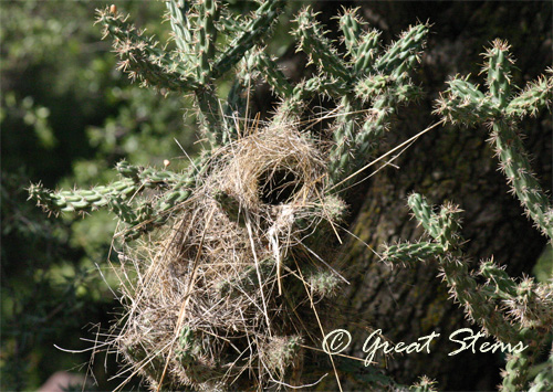
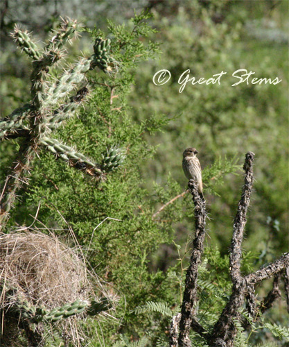 Some birds make their nests in the cholla cactuses, which are abundant and beautiful (and a little hazardous on a hike).
 A long trip, but one made of many memories and new experiences for our family. It’s good to be back home, too, though. 🙂
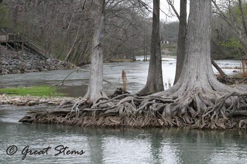 We started at the dam at Canyon Lake near Sattler and worked our way down River Road toward Gruene (pronounced “green”), a historic district located within New Braunfels (How’s that for multiple places mentioned in a single sentence?). I used to live in the Sattler area in my teenage years, as well as in New Braunfels — it was nice to return for a visit.
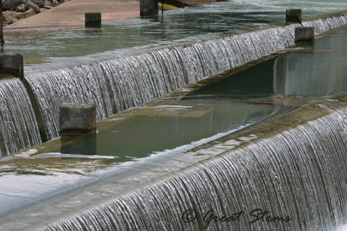
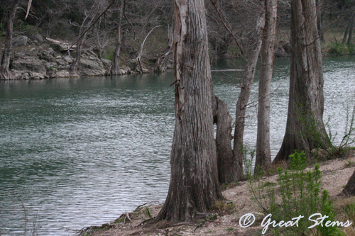
 The Canyon Dam outlet marks the beginning of the Lower Guadalupe, and people from all over come to enjoy the scenery and water recreation. In a couple of months, this river will be full of folks moving along the current in various floating crafts.
 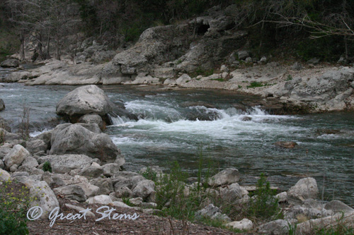 At low levels, the Guadalupe is popular for tubing, while higher levels bring out the canoers, kayakers, and rafting groups. But heavy rainfall can quickly turn the river to treacherous


 The ravens are huge and very, very black. They are considered some of the most intelligent birds, and you can tell that in the way they look at you and ponder how best to deal with you and/or your food. It amazes me that these heavy birds can even fly, and it amuses me further to see them hover against a breeze mere feet from the human watching them.


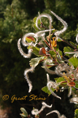
 And along the rim, one walks along shrubs and shrubs of Mountain-Mahogany (Cercocarpus montanus), with all its feathery plumes. I call this photo “The Running Man” — though really, it looks like two people.
 From Lake City we headed south along 149 to Slumgullion Pass. The route takes you on a 9% grade to the peak with some very tight turns. Pretty, but scary. The last time I was on this pass, it was raining. That’s scarier.
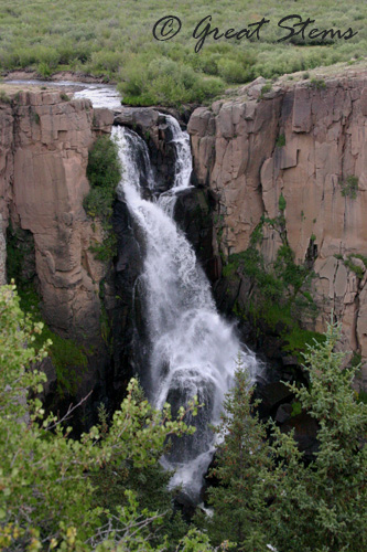
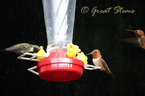
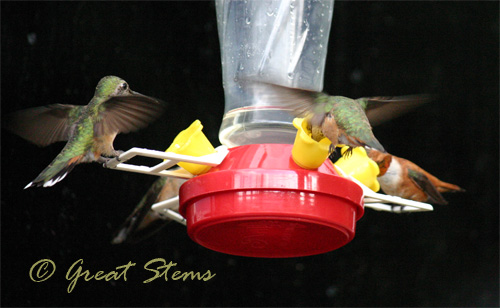
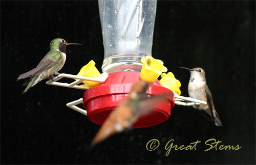
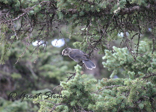
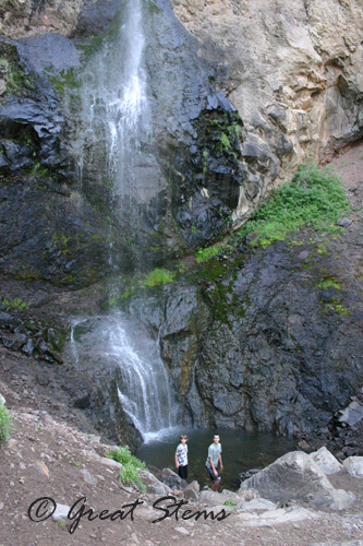
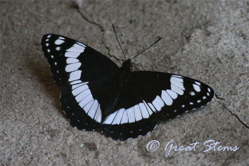
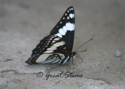
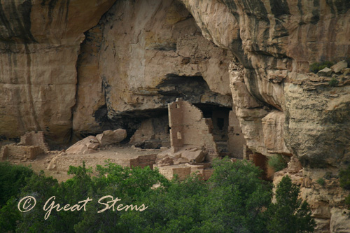
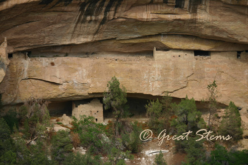
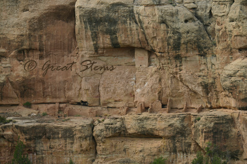
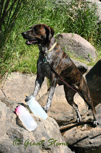


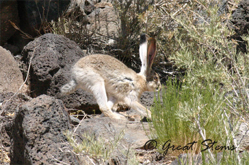
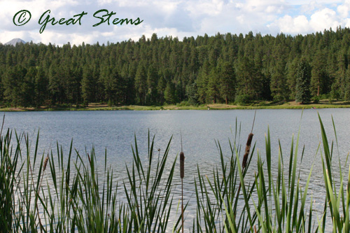 I enjoyed taking a few pictures, but I never managed to capture a picture of the raptors swooping down to catch fish in the water. They did so at dusk, not being considerate enough to fly when I returned in better light. Considering the fishing skill involved, I wondered whether they were osprey, but it’s possible they were eagles. We also spotted a beaver swimming lazily in the water…at…dusk…too. My youngest caught his first fish completely in the dark with me already heading back up to the car. What is up with that?!! Well, at least the setting entertained me in the light.
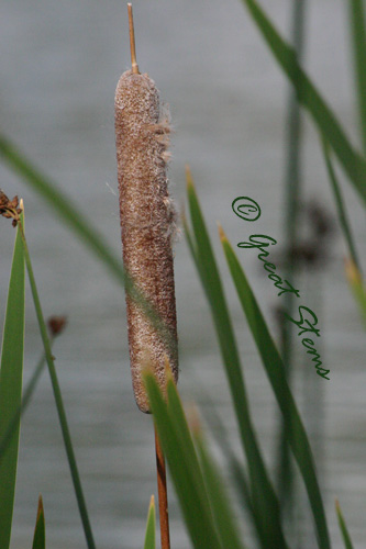
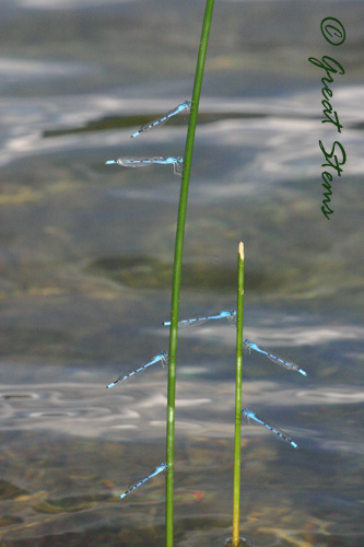
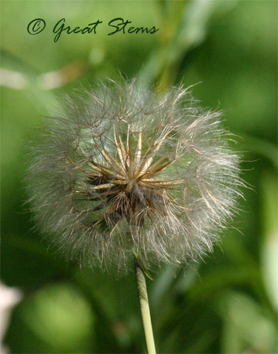
 Colorado has the biggest dandelion-like seedheads I’ve ever seen. Inches across, they are. (EDIT: Mary tells me this plant is Salsify, of the genus Tragopogon. Once again I’ve photographed a picture of a non-native plant. But those seedheads get to be 4-inches across! It’s in the same family as dandelions, but a completely different genus. So distant cousins from across the world…)
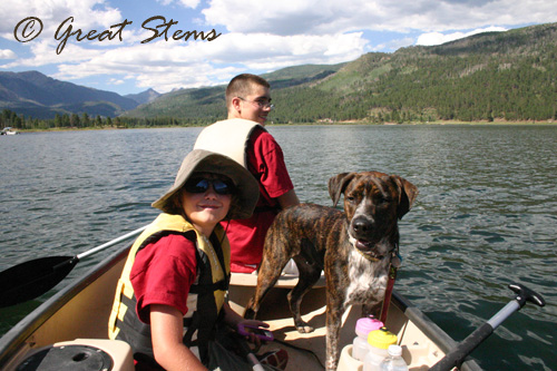
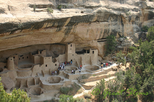 A couple of years ago my boys and I went to Colorado with their grandparents, and we snuck out for a side-trip to beautiful
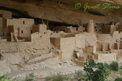
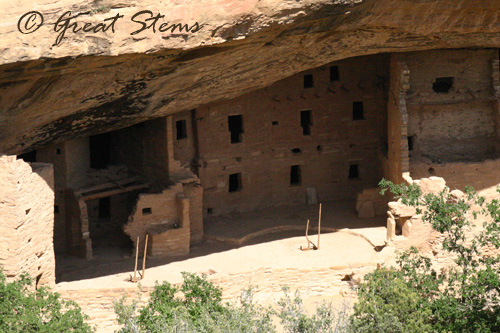
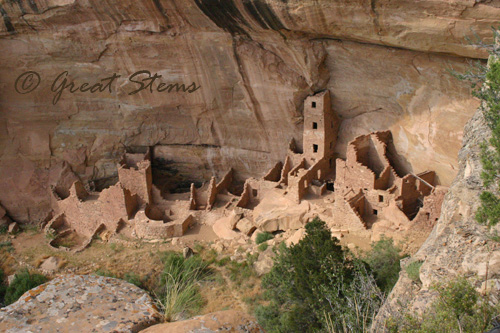
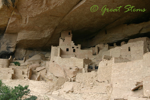 The temperature was very comfortable, and it’s easy to understand why the Ancient Puebloans took shelter in the cliffs, out of the hot summer sun and cold winters.The doorways of the buildings were quite small. At 5’5″, I would have been as tall as the tallest man.